How to Tell a River, Lake and Wetland Apart
Learn how to tell a river, lake and wetland apart by tracing water movement, basin edges and saturated ground, so maps and landscapes make more sense.
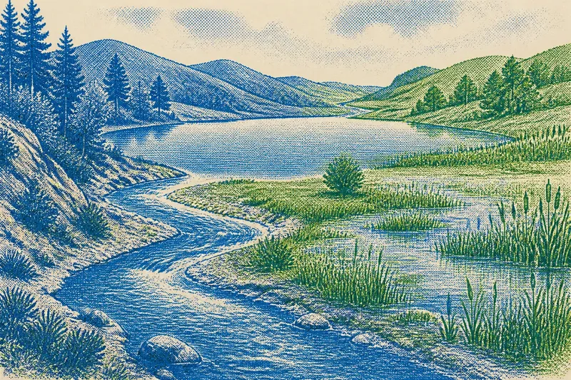
To tell a river, lake and wetland apart, look at what the water is doing: a river carries it along a channel, a lake gathers it in a basin, and a wetland has ground that is repeatedly saturated or flooded long enough to shape its soil and plants. These features can meet in one valley, but their different roles leave distinct clues.
Start with the route water takes. Check whether it moves through a channel, collects behind a low edge, or spreads across shallow ground. Then look at the surrounding surface and vegetation; a single view of open water can miss a seasonal wetland or a lake’s outlet.
Three water roles
A river or stream carries water through a channel. Tributaries join it, and rainfall, snowmelt or groundwater may feed its flow. The channel can be narrow in a steep valley or broad across a low plain.
A lake collects water in a basin or behind a barrier. Streams, groundwater and rainfall can feed it, and many lakes have an outlet. A calm surface does not mean the water is motionless: it can enter, mix and leave.
A wetland is ground that remains saturated or is regularly flooded for a period long enough to shape its soil and favour water-tolerant plants. Marshes, swamps, peatlands and seasonally flooded flats vary in setting and vegetation. Some have open water; others may look dry at the surface during part of the year.
Boundaries between these features can shift. A river may widen into a lake, spill across a wetland and gather into a channel again. A map’s clean line may represent a gradual transition outdoors.
River channels at work
A river’s channel and neighbouring land show how water travels through a place. A narrow channel in a steep valley suggests a different route from a broad, branching channel across flat ground. On a bend, the outer bank may be more actively eroded and sediment may gather on the inner side, though bedrock, vegetation and changes in flow affect the pattern.
Rivers also carry sediment and organic material. Where flow slows, some material settles; where it speeds up, the channel may cut into its bed or banks. A stream entering a lake can deposit sediment and form a low, branching delta.
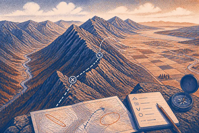
Follow the channel both ways on a map. Note where smaller streams join, where the valley floor widens and where the river meets a lake or wetland. Those connections help explain where water can go after rain, without needing to infer the whole landscape from one bank.
Lake basins and outlets
Look first for the depression or barrier that holds a lake. Its basin may lie among hills, across lowland or behind a natural or human-made obstruction. The outline alone does not explain how water moves through it, so look for inlet and outlet channels.
Where an outlet is visible, water can continue downstream. A lake without one may lose water through evaporation, seepage into the ground, or both. Local geology affects seepage: permeable ground lets water pass more readily than layers that resist it.
Shore shape offers more clues. A gently sloping edge may grade into reeds or marshy ground, while a steeper shore can meet deeper water abruptly. Streams may build deltas at their entry points; waves and currents can redistribute material along other shores.
Wetland ground and plants
Wetlands can receive water from rainfall, river flooding, groundwater or a mix of sources. The source and timing affect how long the ground stays saturated and which plants can thrive. A wetland beside a river may flood when river levels rise; another may depend mainly on groundwater or rain.
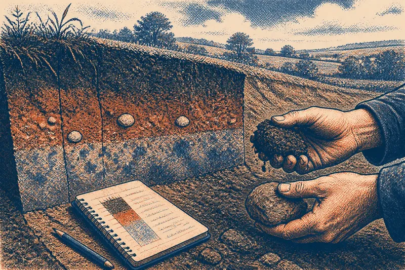
Seasonal wetlands may have no standing water during a dry spell, even when their soils remain damp or become saturated again later. Reeds and sedges often grow beside shallow water, while woody plants may mark wetter woodland. Use vegetation as a clue to moisture, not as proof of an exact boundary.
In a wetland, water can spread through shallow hollows, plant stems and saturated soil rather than staying within a defined channel. This can slow its passage and allow some sediment to settle. The effect depends on the wetland’s soil, vegetation, shape and connection to nearby channels.
What clues should you check?
How can you tell a river from a lake on a map?
A river is usually shown as a line or branching network; a lake appears as a bounded area. Check for inlet and outlet channels to see whether water passes through the basin.
Can a wetland look dry?
Yes. A seasonal wetland can lose visible standing water while its soil remains damp or becomes wet again later. Check for moisture-adapted plants and shallow hollows, and remember that one visit shows only the conditions of that day.
Why does a river spread onto a floodplain?
A floodplain is low ground beside a river that can be reached when water rises beyond its ordinary channel. A broad, flat area beside a river is a clue to possible spreading, not a prediction of when it will happen.
Can a place contain all three features?
Yes. A channel can feed a lake, whose outlet leads into a wetland before water gathers into another channel. The names describe different roles that can occur together.
Field clues and decisions
- Check whether water follows a continuous channel; if it does, read the feature as a river or stream, and if not, look for a basin or saturated ground instead.
- Check whether the water forms a bounded pool; if it does, look for an inlet or outlet to confirm a lake connection, and if not, trace the channel or examine the ground for wetland signs.
- Check whether the ground is repeatedly saturated or flooded; if it is, consider a wetland even without surface water, and if it is not, treat a wet-looking patch as a temporary condition until you see more clues.
- Check for reeds, sedges or other moisture-adapted plants; if they cluster in a low area, use them as a wetness clue, and if they do not, do not rule out a wetland without checking the soil and seasonal setting.
- Check for a clear channel entering or leaving a lake; if one is present, trace where it connects, and if none is visible, allow for seepage or a connection hidden by vegetation or the map’s scale.
- Check whether a low flat beside a river connects to shallow hollows; if it does, allow for water to spread beyond the channel, and if it does not, use the channel and local terrain as your main clues.
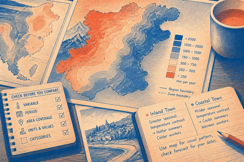
Say you are reading an invented map of a low valley: it shows a narrow blue line entering a bounded pool, then a reed-marked patch before the line continues downstream. First, treat the blue line as a likely river route and follow it to both ends. Next, identify the bounded pool as a likely lake because water gathers there. Then check the reed-marked patch against the map key and any seasonal notes; if the ground is regularly saturated or flooded, classify it as a wetland, while reeds alone are not enough to settle the question. The resulting reading is a connected river, lake and possible wetland, with the wetland label left uncertain until its ground conditions are confirmed.
Think of these features like a jug, a bowl and a damp sponge: one carries water onward, one holds it, and one takes it into its material. The analogy is only a starting point; in a real landscape, water may move between all three.
Reading the landscape
To tell a river, lake and wetland apart, combine the map with what the land shows. Follow channels, find basin edges and look for changes in ground moisture and vegetation. A map suggests connections, while a walk may reveal slight rises, hollows and gradual margins that its symbols cannot show clearly.
For a river, note where tributaries join and where low ground borders the channel. For a lake, look for its basin and any inlet or outlet. For a wetland, compare the soil, plants and shallow hollows rather than relying on visible water alone. Mapping labels can depend on the season and the method used, so treat their boundaries as guides.
The practical distinction is whether water is moving, gathering or saturating the land. Spot those roles and you can read how a channel, basin and wet ground connect, even when their edges do not fall neatly into separate categories.